
Intero experience in a published project
David Gian, in a PPSA 2024 report, describes a robotic survey of gas pipelines under the river that are not equipped with conventional launch and receiving cameras. The project used special access and managed complex with magnetic, geometric and visual data. According to the author, each line was examined for about six hours while her work was maintained.
The project was characterized by a developed access infrastructure. To evaluate such decisions, consider the entire route: input of equipment, controlled traffic, return, coordinate reference and completeness of measurement data. These elements jointly determine the usefulness of a robotic survey.
Access is part of the diagnostic system
When there are no full-time cameras, the task starts long before the instrument moves. The location of the input, dimensions of the equipment, tolerance of intervention and extraction are required. These questions affect the overall feasibility of the project as much as sensor sensitivity.
It is useful to compare technology with the entire training, not just the time of the survey itself. Short passage may require considerable advance work. Therefore, economic valuation should be based on the full life cycle of the campaign: access preparation, equipment verification, measurement, system restoration and subsequent use of the infrastructure.
Control traffic expands control scenarios
A robot with its own transmission does not have to follow the flow rate fully. This allows you to stop near the area of interest, return and repeat the recording. This possibility is particularly valuable with unknown fixtures or local signal deterioration.
But independence from flow does not mean independence from the environment. The movement resistance, the load on the support, communication and power constraints are applied. Therefore, for each route, it is necessary to define the permissible regimes. The possibility of stopping should be considered, however, whether it is safe to continue and return after the discovery of an unexpected obstacle.
Navigation under the river has its own uncertainty
Visual observation helps to recognize stitches and features, and odometery links the recording to the distance travelled. But slipping wheels, changing contact and moving backwards can affect the accumulated coordinate. The distance should not be considered accurate simply because it is updated in real time.
It is useful to combine independent features and check the sequence of stitchings for reliable reference. It is important to indicate the location of the available reference points and its uncertainty in the report. This determines how robustly a detected object can be found in subsequent external examination or repair.
Different channels respond to different threats
The video shows the available interior surface, the geometric channel describes the profile, magnetic — The evidence of metal loss within the limits of its qualification. One channel may explain the anomaly of another, but does not automatically replace it. For example, a well-seeing surface is not evidence of the absence of external corrosion.
Before the survey, a list of threats should be drawn up and each linked to the measurement method. Then define the expected limitations: visibility obstacles, sensor gaps, stitch features and areas of modified diameter. This approach makes it clear what part of the task closes the complex and what information will require another way of obtaining.
Percentage of coverage required clarification
One general percentage may hide different situations: a short area with no data or rare long circle passes. These cases are not equally valuable for the assessment of the state of affairs. So it's useful to imagine the surface as a map of length and angle, separately for each channel.
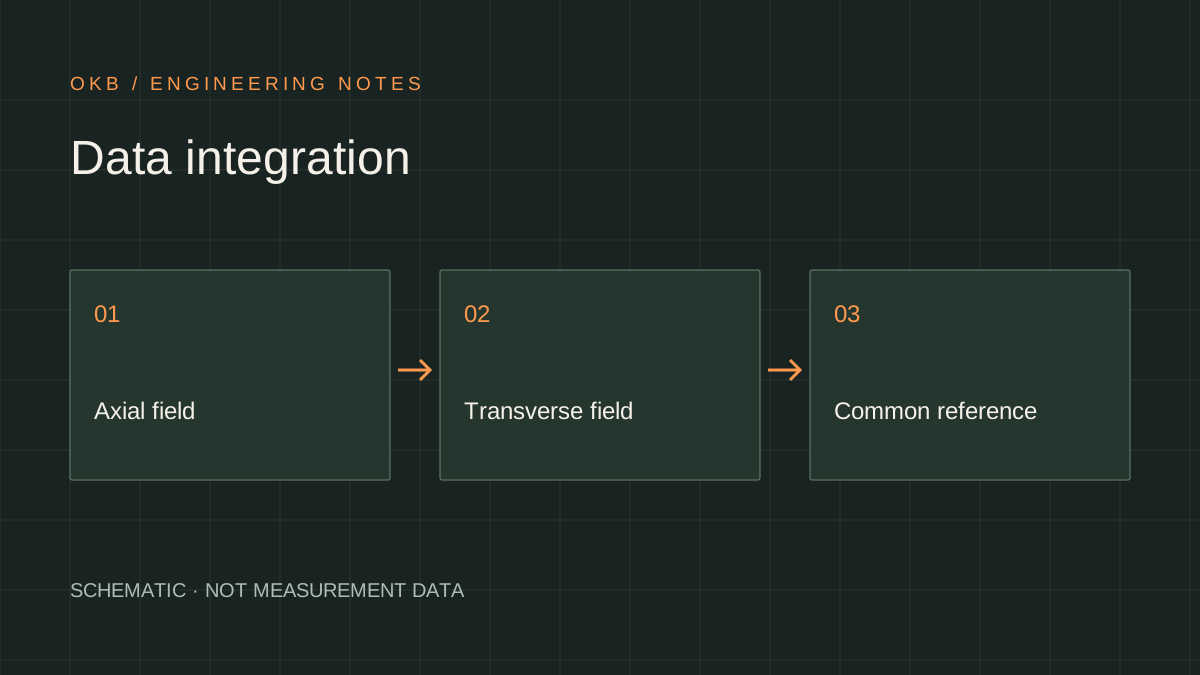
If the pass is closed after re-entry, the origin of the final entry shall be retained. The integration of measurements shall take into account differences in speed and direction. A good report shows where the result is directly, where processing is restored and where information is not available, rather than masking these differences with a single total.
What is a useful re-entry
Repeat is justified when it answers a specific question: closes the pass, specifies the position of the object or checks the signal stability. The second passage along the same route without changing conditions may reproduce the same problem. Therefore, the purpose of repetition and its success must be determined in advance.
After comparison, both entries should be retained and the final estimate should be explained. If the results are not consistent, the averaging is not always correct: one of the gangways may have been carried out outside the permissible mode. It is more useful to first determine the cause of the difference using speed, contact and channel condition. Then the re-measurement really reduces uncertainty, not just increases the volume of the archive.
How to compare a solution with alternatives
Robotized control should be compared with alternatives to targeted information. Pressure test, external survey and in-line inspection answer different questions and have different limitations. The mere fact that a large recording was received did not mean that all significant threats were assessed.
OKB editorial conclusion: Technology is particularly convincing when access, movement and measurements form a proven chain. The owner is concerned about the location of anomalies, the reliability of size and a clear list of unverified areas. For the developer — The control, sensors, power supply and registration are aligned with actual transition conditions rather than with an idealised straight line.
Engineering output
When you look at the transition without a full-time camera, you're looking at the whole complex: access, return, navigation and covering each method. Time of passage — It's just one of the characteristics of the project.
Sources and further reading
- PPSA Technical Report 2024open PDFIntero — In-service Robotic Inspection of Unpiggable Natural Gas Pipelines at River Crossings ↗
The article was originally written in Russian. It summarises the cited sources. For the original text and illustrations, consult the publications listed below.