
As reported in the full report
David Gian and Rod Lee in PPSA 2022 describe a robotic survey of the Brandon lateral gas line 8,3 The main area of the district is . Work took nine days; access points and the internal tube charging system were used. Authors report magnetic and geometric coverage more than 99%while noting the costs of building the necessary infrastructure.
This is an example of a long line survey in stages rather than a continuous autonomous run on one charge. The energy and information architecture of this solution and the criteria by which the range of a robotic complex should be assessed are then discussed.
The distance is not the only permanent instrument
The energy consumption depends on the driving resistance, gradient, surface condition, sensor operation and stopping time. Therefore, the range obtained in one route does not automatically shift to another. A more useful energy budget with ranges of conditions than one maximum number is for planning.
The budget should include the return or achievement of the next available point, as well as a provision for deteriorating conditions. If the robot finds an obstacle, the energy already spent will not return. The criteria for continuation of traffic should therefore be linked to the actual state of the battery and the remaining route, not just to the distance travelled.
Recharge changes the design of the project
The intermediate feed increases the total length of the survey but requires compatible interfaces with the pipeline. Each such point has a cost, training time and operational limitation. As a result, the task goes beyond the development of the robot itself.
The options should be compared according to the full campaign pattern: number of accesses, distances between them, charging time and re-use. Reductions in energy consumption can be particularly valuable if one point of infrastructure is abandoned. This effect is sometimes more important than a small increase in traffic within an already available section.
Measurement energy competes with motion energy
Sensors, recorder, communication and compute consume part of the reserve intended for transmission as well. Increasing the number of channels or frequency of recording increases the level of information, but can reduce the available time. The reduction in consumption, in turn, should be assessed against data quality.
For example, rare recording at a variable speed makes the spatial density of the accounts worse. Therefore, the economy regimes should be distinguished. The maximum range obtained with a limited set of functions, the complete measuring complex cannot be declared without explaining which channels and settings were used in the test.
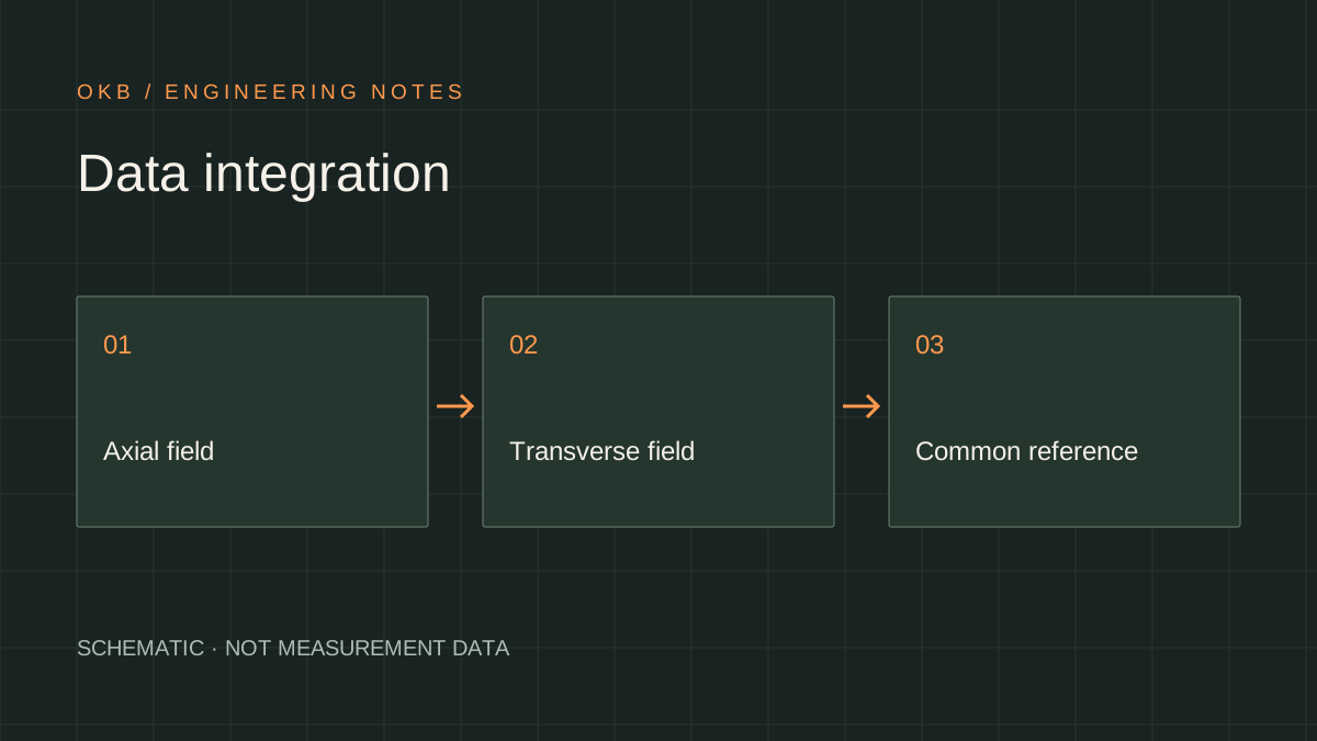
Many steps require a single map of coordinates
The sites should be combined with different launch data. At borders, closures, shifting direction and possible differences in linkage occur. If you connect the records only at an accumulated distance, an error can hide a small pass or create a double object.
Steady features, especially welds and known elements of the track, help to harmonize sections. The final map must show the origin of each area of recording and how it is combined. This is also important for repeat surveys: the future analyst must understand where the real boundary of the measurement steps passes.
High coverage not equals 100% knowledge
The coating describes the availability of suitable data for the accepted criterion, but does not replace the probability of a defect being detected. Even with almost continuous recording, there are still limits to sensitivity, size and classification. These characteristics should therefore be indicated separately.
In addition, a small percentage of the pass may be related to an important connection or complex geometry. It is useful to show not only the final share but also the location of the grounds passes. The owner may then determine whether an additional method is required for a particular site, rather than focusing on only a high overall figure.
How to compare two energy options
The comparison of batteries should be carried out on the same route and with a set of measurement functions. A large nominal capacity does not always mean more useful work: mass affects movement, temperature — on affordable energy, but the layout — I'm going to go through the door. The decision is therefore made on the basis of the characteristics of the assembly.
It is useful to estimate not only average expenditure but also the most severe area, stopping times and communications reserve. If the route includes charging, consider the reliability of reaching the next point. This calculation helps to choose between battery expansion, reduced consumption and changes in infrastructure based on real survey rather than one passport parameter.
How to Assess the Development of a Robotic Platform
The improvement of the system can be reflected in a reduction in energy by meter, a decrease in access points, a greater sustainability of communications or a reduction in data validation time. These changes should be linked to the real survey route. A separate spectacular range record does not necessarily reduce the intensity of industrial campaign.
OKB editorial conclusion: A robot, infrastructure and measurement process form a single complex. Its effectiveness is determined by how predictable it provides the data at the full planned length. This is equally important for the energy reserve, understandable navigation, tested coating and documented consolidation of the results of individual steps.
Engineering output
A large aggregate survey length can be achieved by a network of access and recharges. The range needs to be assessed together with the energy reserve, infrastructure and quality of the combined data.
Sources and further reading
- PPSA Technical Report 2022open PDFIntero — Long Distance Inline Inspection of an Unpiggable Natural Gas Pipeline with Robotic Technology ↗
The article was originally written in Russian. It summarises the cited sources. For the original text and illustrations, consult the publications listed below.